Flowing Underground
They carry people and commodities on their backs, have homes constructed on their banks, and have bridges across their bodies. They have influenced the design of cities and have even been constructed around. However, the prosperity of those very cities has caused pollution and undergrounding of many of the world's rivers. Some of them are entirely submerged, while others have minor portions that are visible above ground—that is, if one knows where to look. They run beneath parks, roadways, and sidewalks. These are a few of the most intriguing undiscovered rivers on Earth.
River Westbourne, London, England, UK
At least one of London's forgotten rivers has likely been crossed by most visitors to the city, even if they were unaware of it. About 20 "buried" rivers are thought to have originally flowed above ground as tributaries to the Thames; however, most of them were covered over and turned into sewers in the 1800s. One is the River Westbourne, which is seen here about 1825 when Knights' Bridge in Westminster spans it. The name Knightsbridge refers to the neighborhood where the bridge was once located.
Up until the early 19th century, the Westbourne supplied the growing city with water, but by then it was too dirty to even stroll by, much less drink. The water that used to run through Sloane Square, Hyde Park, and Hampstead before draining into the Thames was diverted into subterranean tunnels to provide space for construction in Paddington, Chelsea, and Belgravia. A portion of the original iron pipe remains crosses Sloane Square tube station today.
Garrison Creek, Toronto, Ontario, Canada

This image from the late 19th century shows Garrison Creek as it started to descend underground, with workers excavating culverts to turn the stream into an underground sewer. The creek was named because it empties into Lake Ontario near Fort York, the military stronghold in the region. It ran through an area that is now home to a number of inner-city neighborhoods for over five miles (8 km). Due to environmental concerns and the fast-growing population, the whole stream was turned into sewers by the 1920s.
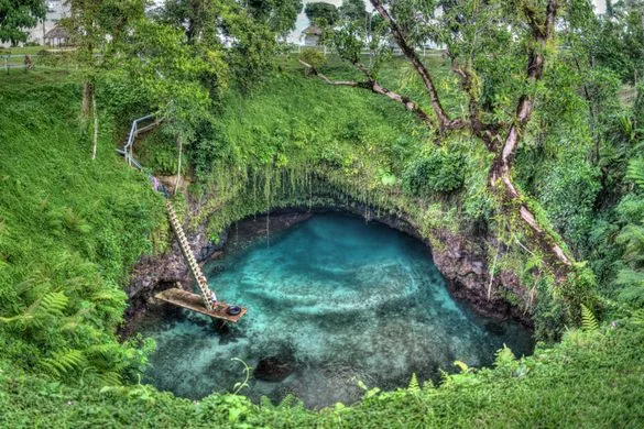
Tibbetts Brook, New York City, New York, USA
Mosholu, which means "smooth or small stones," was the name given to Tibbetts Brook by the Lenape people, who relied on the stream for food and water. The sole remaining above-ground section is in Van Cortlandt Park, where it previously meandered from Yonkers, north of the Bronx. Now a wetland (shown in the image), it serves as a home to a variety of plants and animals, including muskrats and herons. The last portion of the stream empties into an arched brick sewer below ground.
Tank Stream, Sydney, Queensland, Australia
If not for a watercourse that has long since vanished into the deep ocean, Sydney may not look the way it does now. The location of the city today was chosen by European settlers in the late 1700s due to a little brook that indicated fresh water that had been filtered by sandstone and mosses. The stream came from the marshy high terrain that is today bounded by Market, Park, Elizabeth, and Pitt Streets. It trickled into a tiny valley and then empties into Sydney Cove through a tidal estuary that is barely visible to the left of this 1788 image.
The name "Tank Stream" comes from the fact that the community expanded outward from the sandstone banks of the river, but when a drought hit, the water was redirected into holding or storage tanks cut out of the rock. Ten years after Tank Stream's source was drained in 1850 due to population growth, what was left of the stream got more and more contaminated, and what was left of Tank Stream was covered in stone. The Tank Stream Fountain, which pays homage to the stream's influence on the development of contemporary Sydney, was installed close to Circular Quay in 1981.
Read Also: Enduring Legacy of Ancient Monuments
Bradford Beck, Bradford, England, UK

It almost seems as though it never happened at all now. It passes via culverts and tunnels built with brick for about four miles (6.5 km) beneath the city until emerging at the River Aire near Shipley, which is the sole part that touches the outside world (image). Friends of Bradford's Becks is a local organization that aims to bring back the city's river system to its former splendor.
Bova-Celato River, Brescia, Italy
There are several underground rivers in Brescia, and unlike many places on our list, you can typically get a decent glimpse at them. Thanks to a group of knowledgeable people who offer tours of the city's underground rivers as an official historical society, you can really walk across them. Brescia Underground replaced a manhole cover with a glass one so that guests could see the location of the Bova and Celato River's underground convergence. The society's tours mostly center on the Bova-Celato River, as shown in the photo.